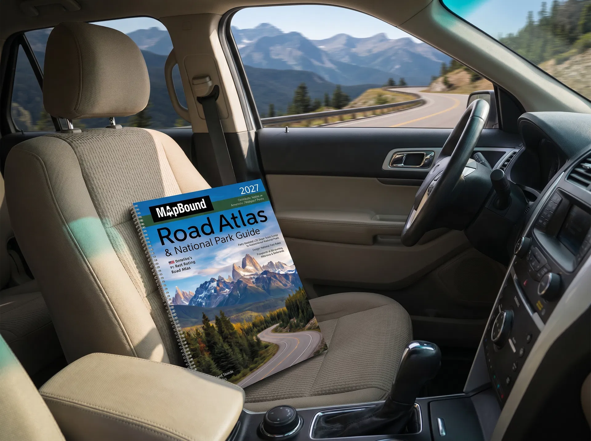
FROM SOMEONE WHO'S DRIVEN EVERY ROUTE

I'VE DRIVEN EVERY MAJOR ROAD TRIP ROUTE IN AMERICA. HERE'S THE ONE THING I NEVER LEAVE HOME WITHOUT.

β˜…β˜…β˜…β˜…β˜…

4.8 Stars β€” 10,000+ Verified Reviews

Open spiral-bound road atlas on the passenger seat while driving through a dramatic American landscape

The Routes

I'VE DRIVEN THE PACIFIC COAST. THE BLUE RIDGE PARKWAY. ROUTE 66. THE GOING-TO-THE-SUN ROAD. AND DOZENS MORE. THE ATLAS HAS BEEN ON EVERY SINGLE ONE.

I've driven the Pacific Coast Highway from Oregon to Malibu. The Blue Ridge Parkway end to end. Route 66 from Chicago to Santa Monica. The Going-to-the-Sun Road through Glacier. The Extraterrestrial Highway through Nevada. The Natchez Trace. The Overseas Highway through the Florida Keys.

Every route. Different seasons. Different cars. Different passengers. One constant.

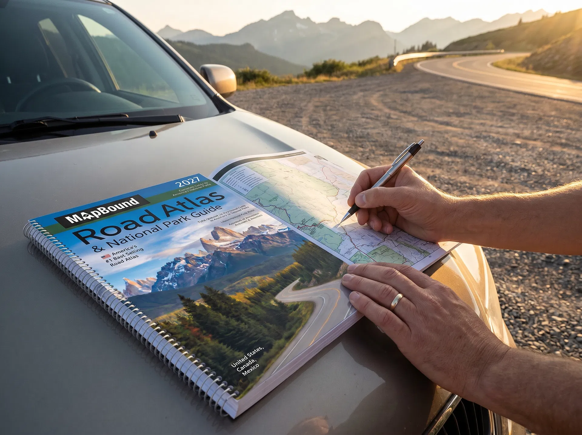
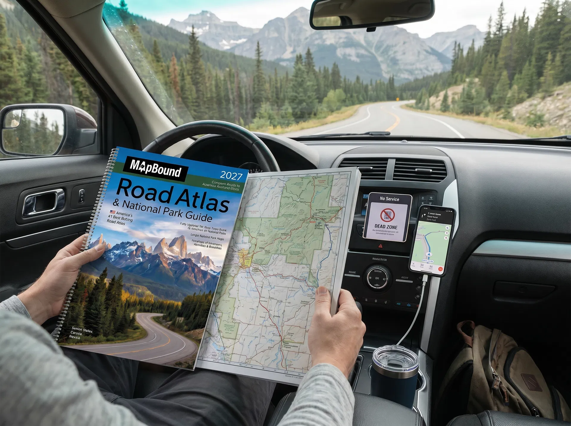
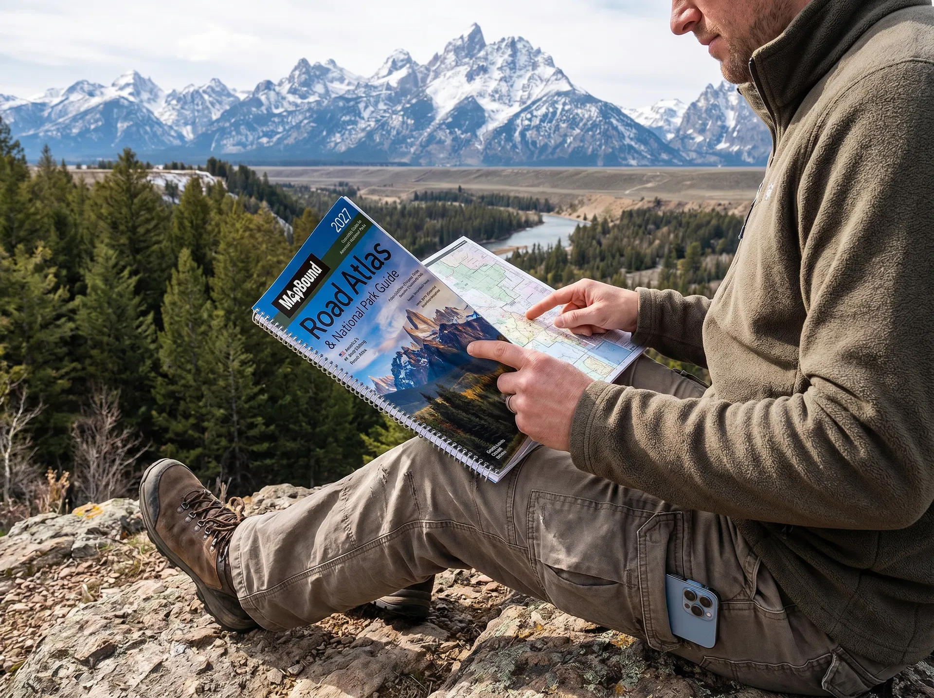
The 2027 MapBound Road Atlas has been on the passenger seat of every single one of those drives. Not because I don't use GPS β€” I use it every day. Because I've driven enough miles to know exactly when GPS fails and exactly what you need when it does. And because planning a real road trip with a physical atlas before you leave produces a completely different trip than following arrows the whole way.

β˜…β˜…β˜…β˜…β˜…

Same Experience, Same Conclusion
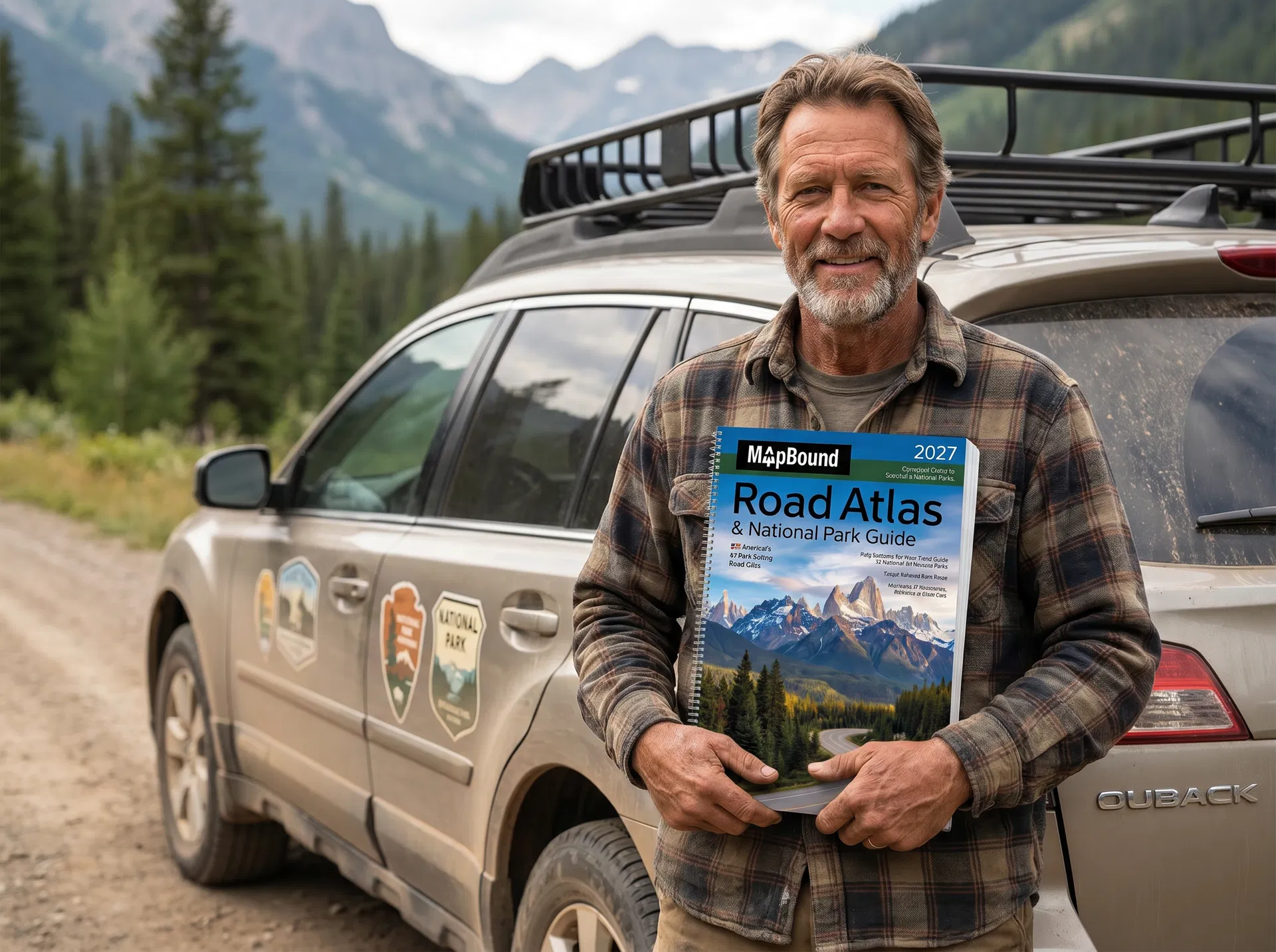
β€œI've been road tripping for thirty years. Used paper maps, then Mapquest printouts, then GPS, tried every app. The atlas is still in the car. Nothing else covers what it covers or works where it works. It's the one constant.”

ReviewerRobert M., Georgia

The Planning

EVERY GREAT ROAD TRIP I'VE EVER TAKEN STARTED WITH THIS ATLAS OPEN ON THE TABLE THE NIGHT BEFORE.

There's a ritual I follow before every long drive. The atlas goes on the kitchen table. I trace the route β€” not just the main highway, but everything around it. The scenic byways. The National Park entrances. The towns worth stopping in. The viewpoints worth the detour.

That planning session β€” which takes maybe forty minutes β€” changes the entire trip. I arrive at National Parks knowing which entrance to use and which trail to hit first. I know the shape of the whole journey before the first mile is driven. And I've spotted things along the way that GPS would never have suggested and that I never would have known to look for.

The 2027 MapBound Road Atlas gives you minimum two-page state spreads for every state β€” large enough to plan from, detailed enough to find what the algorithm misses. 133 pages on all 63 National Parks. Everything you need for the planning session that makes the difference.

β˜…β˜…β˜…β˜…β˜…

The Planning Session Changed Everything

β€œStarted planning our road trips with the atlas the night before instead of just using GPS on the day. Different trips entirely. We found things we never would have found, avoided things we never would have known to avoid. This is how we plan every trip now.”

ReviewerMichelle T., Oregon
Road tripper planning a route on a spiral-bound atlas across the hood of a car
Driver calmly using a spiral-bound atlas in a no-signal national park area

The Backup

I'VE LOST GPS SIGNAL ON ALMOST EVERY MAJOR ROUTE I'VE DRIVEN. IT HAS NEVER ONCE BEEN A PROBLEM.

Glacier National Park β€” no signal for most of the Going-to-the-Sun Road. Death Valley β€” vast stretches with zero bars. The Badlands β€” dead zone for over an hour of driving. The Blue Ridge Parkway β€” spotty to non-existent through most of the mountain corridor.

I've lost GPS signal on almost every significant route I've driven. And it has never once been a problem. Because the atlas is always on the passenger seat.

I don't pull over. I don't wait for signal. I don't turn around. I glance at the atlas, confirm where I am, and keep driving. That's the whole system. It's the same system that's worked on every route, in every season, through every dead zone in America for as long as I've been doing this. The 2027 MapBound Atlas β€” 274 pages, no signal required.

β˜…β˜…β˜…β˜…β˜…

GPS Dies. I Keep Driving.

β€œI've driven through enough dead zones to know GPS is not a complete navigation plan. The atlas is. Every time the signal drops on a long drive, I'm reminded why I still carry it. It's never failed me once in fifteen years of road tripping.”

ReviewerTom H., Colorado

The Parks

I'VE VISITED 47 OF THE 63 NATIONAL PARKS. THIS ATLAS IS HOW I PLANNED EVERY ONE.

I've visited 47 of America's 63 National Parks. I have 16 left. I know exactly which ones they are and roughly when I'm going to each one, because they're in the atlas.

The 2027 MapBound Atlas dedicates 133 pages to all 63 parks β€” 2 to 4 full pages per park covering trails, lodging, best times to visit by season, weather patterns, must-see viewpoints, and local activities. 379 full-color photos. Everything cross-referenced and indexed.

I have never shown up at a National Park underprepared. I know which entrance to use. I know which trails are worth the effort. I know the best time of day to hit the most popular spots. That knowledge comes from this atlas. No app, no website, no collection of Reddit threads has ever given me what these 133 pages do.

β˜…β˜…β˜…β˜…β˜…

The Best Park Research Tool I've Found

β€œI'm working through all 63 National Parks and this atlas is my planning bible. More useful than the NPS website, more detailed than any travel guide, and I can read it in the car. I plan every visit from this book.”

ReviewerSarah K., Oregon
Driver at a national park viewpoint planning from a spiral-bound atlas
Experienced road tripper holding a spiral-bound atlas beside a well-traveled car

The Recommendation

AFTER EVERY ROUTE I'VE DRIVEN, THIS IS THE ONE THING I TELL EVERY NEW ROAD TRIPPER TO GET FIRST.

People ask me all the time what they should know before their first big road trip. What app to use. What route to take. What to pack.

My first answer is always the same. Get the atlas. Before the app. Before the route planning. Before you do anything else. Put the 2027 MapBound Road Atlas in the car and know that no matter what your phone does, you have 274 pages of current, detailed, signal-free navigation under your seat.

Then plan your route from it the night before. Find the detours worth taking. Learn the National Parks before you arrive. See the whole picture of the trip instead of following arrows to it.

I've driven every major road trip route in America. The atlas has been on every single one. That's not nostalgia. That's experience. And it's the most useful recommendation I can give any driver who wants a real road trip instead of just a drive.

β˜…β˜…β˜…β˜…β˜…

First Thing I Tell New Road Trippers

β€œMy dad told me to get an atlas before my first cross-country drive. I thought he was being old fashioned. Lost GPS signal for three hours on day two. Dad was right. It's the first thing I tell anyone now too.”

ReviewerMark D., Idaho

EVERY MILE I'VE DRIVEN HAS TAUGHT ME THE SAME THING. THE ATLAS STAYS IN THE CAR.

I've driven in conditions where GPS was brilliant and conditions where it was completely useless. I've had it save time and seen it send drivers down logging roads. I've watched it work perfectly in cities and freeze for hours in National Parks. After all of it β€” every route, every season, every dead zone β€” the conclusion is always the same. The atlas stays under the seat. It's the one thing that has never failed. The one thing I'd never leave without. And the one thing I recommend to every driver who wants a real road trip instead of just a drive.

THE ONE THING EVERY EXPERIENCED ROAD TRIPPER HAS

ROAD ATLAS & NATIONAL PARK GUIDE 2027

United States, Canada & Mexico β€” Works Without Signal. Updated for 2027. All 63 National Parks.

MapBound Road Atlas & National Park Guide 2027 cover
$99.99Only $49.99
β˜…β˜…β˜…β˜…β˜…

4.8 Stars β€” 10,000+ Verified Reviews

Road Atlas & National Park Guide 2027. United States, Canada & Mexico. Works Without Signal. Updated for 2027. All 63 National Parks.

Spiral-Bound274 Pages
GET THE ATLAS β†’
MapBound road atlas cover
Road Atlas & National Park Guide 2027
$99.99$49.99
πŸ›’ Get the Atlas